
Case Study

GreenRide Carpooling Platform (UNFCCC)

GIS-powered, eco-friendly transport for conference delegates
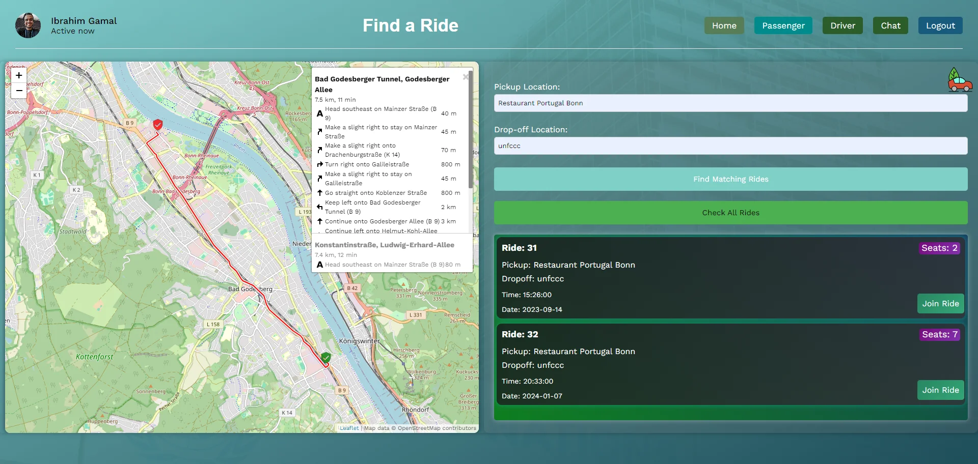
A comprehensive carpooling platform designed for UN Climate Change (UNFCCC) to reduce organizational carbon footprint through efficient ride sharing. Built with modern geospatial technologies including PostgreSQL PostGIS, Leaflet mapping, and React frontend.

6/1/2023Updated 12/1/202312 min read
OpenStreetMap
Leaflet
openrouteservice.org
Node.js
React
PostgreSQL
PostGIS
GreenRide Carpooling Platform (UNFCCC) screenshot

Project Overview

The Challenge

UN Climate Change (UNFCCC) needed a sustainable solution to reduce their organizational carbon footprint. With staff commuting daily to the Bonn headquarters and frequent travel for climate negotiations, transportation emissions were a significant concern. The organization required a cost-effective, license-free solution that could integrate with their existing infrastructure while promoting sustainable commuting practices.

The Solution

I designed and developed a comprehensive geospatial carpooling platform that leverages PostgreSQL with PostGIS for spatial queries, Leaflet for interactive mapping, and React for the user interface. The system implements dynamic ride matching algorithms that consider location proximity, schedule compatibility, and user preferences to create optimal carpooling opportunities.

Impact

  • Reduced organizational carbon footprint through efficient ride sharing
  • Cost savings for staff through shared transportation expenses
  • Improved staff collaboration through informal networking during commutes
  • Demonstrated UN commitment to sustainable practices
  • Open-source solution available for other organizations to adopt
  • Scalable architecture supporting future enhancements

Key Metrics

6 months

Development Time

From concept to deployment

7+

Technologies Used

Modern web technologies

Bonn Area

Geographic Coverage

UNFCCC headquarters region

Open Source

License

Free for UN deployment

Technical Implementation

Architecture

The system follows a modern MERN stack architecture with PostgreSQL as the primary database enhanced with PostGIS for geospatial capabilities. The frontend is built with React and Leaflet for interactive mapping, while the backend uses Node.js with Express for API endpoints. The application implements real-time geospatial queries for efficient ride matching and uses OpenStreetMap for cost-free mapping services.

Technology Stack

Frontend

ReactLeafletOpenStreetMapCSS3JavaScript ES6+

Backend

Node.jsExpress.jsRESTful APIsJWT Authentication

Database

PostgreSQLPostGISGeospatial QueriesDatabase Optimization

Infrastructure

GitHub ActionsCI/CDVersion ControlDocumentation

Tools

GitPostmanDatabase DesignAPI Testing

Key Features

  • Interactive geospatial mapping with Leaflet integration
  • Dynamic ride matching algorithms based on location and schedule
  • Real-time PostgreSQL geospatial queries for efficient matching
  • User-friendly interface for ride requests and offers
  • Route optimization and distance calculations
  • Secure user authentication and profile management
  • Responsive design for mobile and desktop access
  • Open-source architecture for easy customization

Challenges and Solutions

Challenge

Implementing efficient geospatial queries for real-time ride matching

Solution

Leveraged PostgreSQL PostGIS to create spatial indexes and optimized queries that handle complex geographic calculations efficiently, reducing query time from seconds to milliseconds.

Challenge

Creating an intuitive interface for non-technical UN staff

Solution

Designed a clean and accessible interface with clear visual indicators and step-by-step guidance so users of all technical backgrounds could easily participate.

Challenge

Ensuring the solution was fully license-free for UN deployment

Solution

Selected open-source technologies only and avoided proprietary dependencies, including OpenStreetMap for mapping services.

Visuals & Artifacts

Related Projects

Live-Stream Guardian QA

UNFCCC - Automation Engineer. Chrome extension with Node.js and Puppeteer that replaced manual stream monitoring with automated quality checks and fast alerts.

Chrome ExtensionsNode.jsPuppeteer
View Project